Graphic Landscape Simulation
Topic: Digital simulation for cultural historic landscapes
Date: December 2019-January 2020
Location: Gettysburg National Military Park, PA
Software: AutoCAD, Rhino, Lumion, Adobe Photoshop, Adobe Illustrator, SketchUp
GETTYSBURG CULTURAL LANDSCAPE REPORT
In order to guide future stewardship and decision-making at Gettysburg National Military Park, simulations of potential changes to the landscape’s vegetation, paths, management, and maintenance were created for inclusion in the park’s Cultural Landscape Report (CLR).
This was done for two areas in the park: (1) Harmon Farm and (2) the site of the Eternal Light Peace Memorial.
Digital simulations were created for both existing and proposed conditions, in order to demonstrate a before-after effect for decision-makers. Three vantages were explored for each site, for a total of twelve (12) final rendered images.
This project was hosted in partnership with SUNY ESF’s Cultural Center for Landscape Preservation (CCLP) and the Olmsted Center for Landscape Preservation (OCLP), a branch of the National Park Service (NPS).
RESTORATION OF HISTORIC CONDITIONS
HARMON FARM
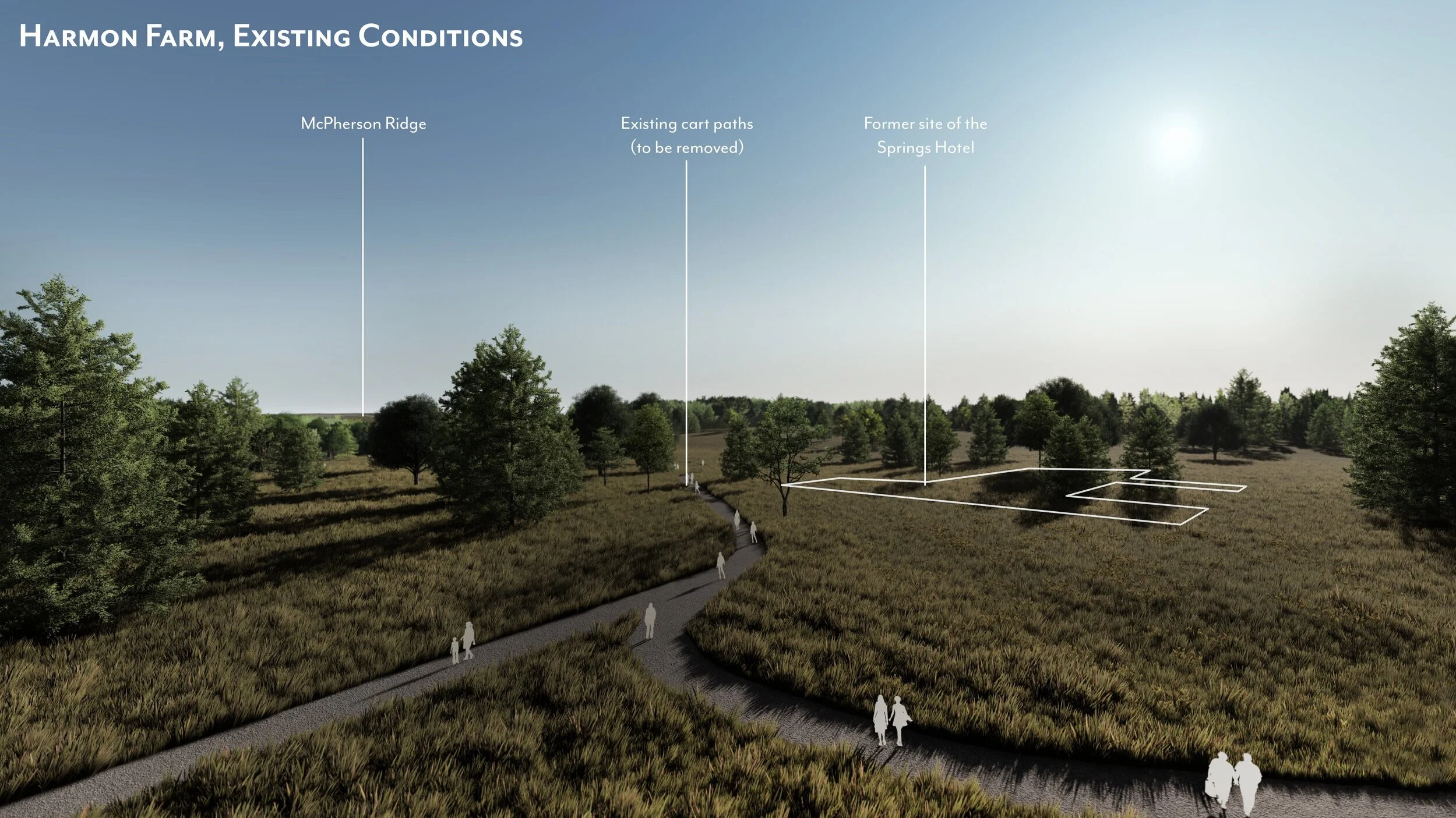
As part of the National Park Service’s (NPS) acquisition of Harmon Farm, a former golf course on the site of Gettysburg National Military Park, the Cultural Landscape Report (CLR) for the site includes plans to restore the cultural landscape to historic battlefield conditions. In order to better guide future stewardship, models were created for both current and proposed conditions in order to assess the impact that cultural landscape restoration interventions would have on visitor experience.
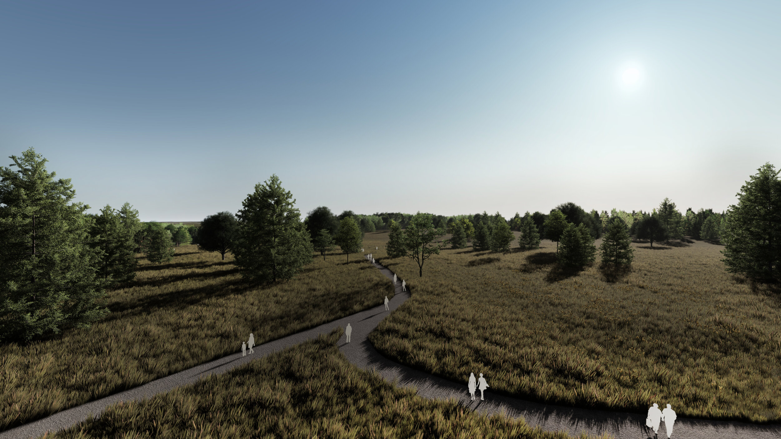
Proposed conditions include the restoration of primary and secondary trails with appropriate mow-lines, a mown footprint for the former Springs Hotel, installation of historic Virginia Worm and split rail fences, partial orchard replanting, and clearing of vegetation to restore views and battlefield conditions.
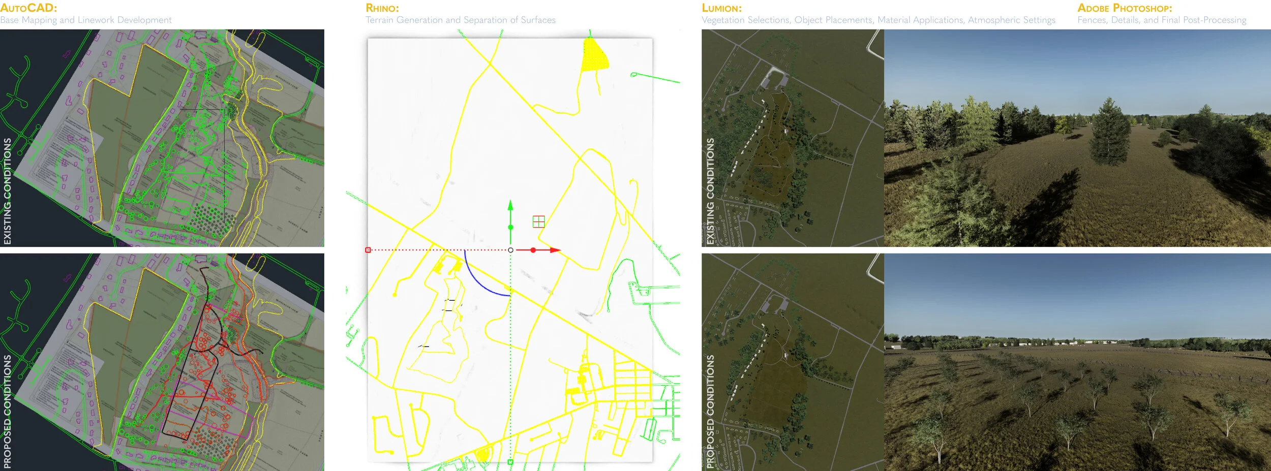
PROGRAM WORKFLOW : AutoCAD - Rhino - Lumion - Adobe Photoshop
Existing documentation included preliminary existing and proposed conditions plans in both Adobe Illustrator and AutoCAD. These plans were used to create additional CAD files which would serve as bases for model development in Rhino.
Unique terrains were created using contour information for both models and layers from the CAD files were used in creating building volume meshes from building footprints, tree addition and removal guides, and terrain splitting guides for later material applications and model placements in Lumion. Models were finalized in Lumion where additional scene set ups and atmospheric effects for rendering were completed. Final processing was accomplished in Adobe Photoshop.
Existing conditions of the site include cart paths from its former use as a golf course.

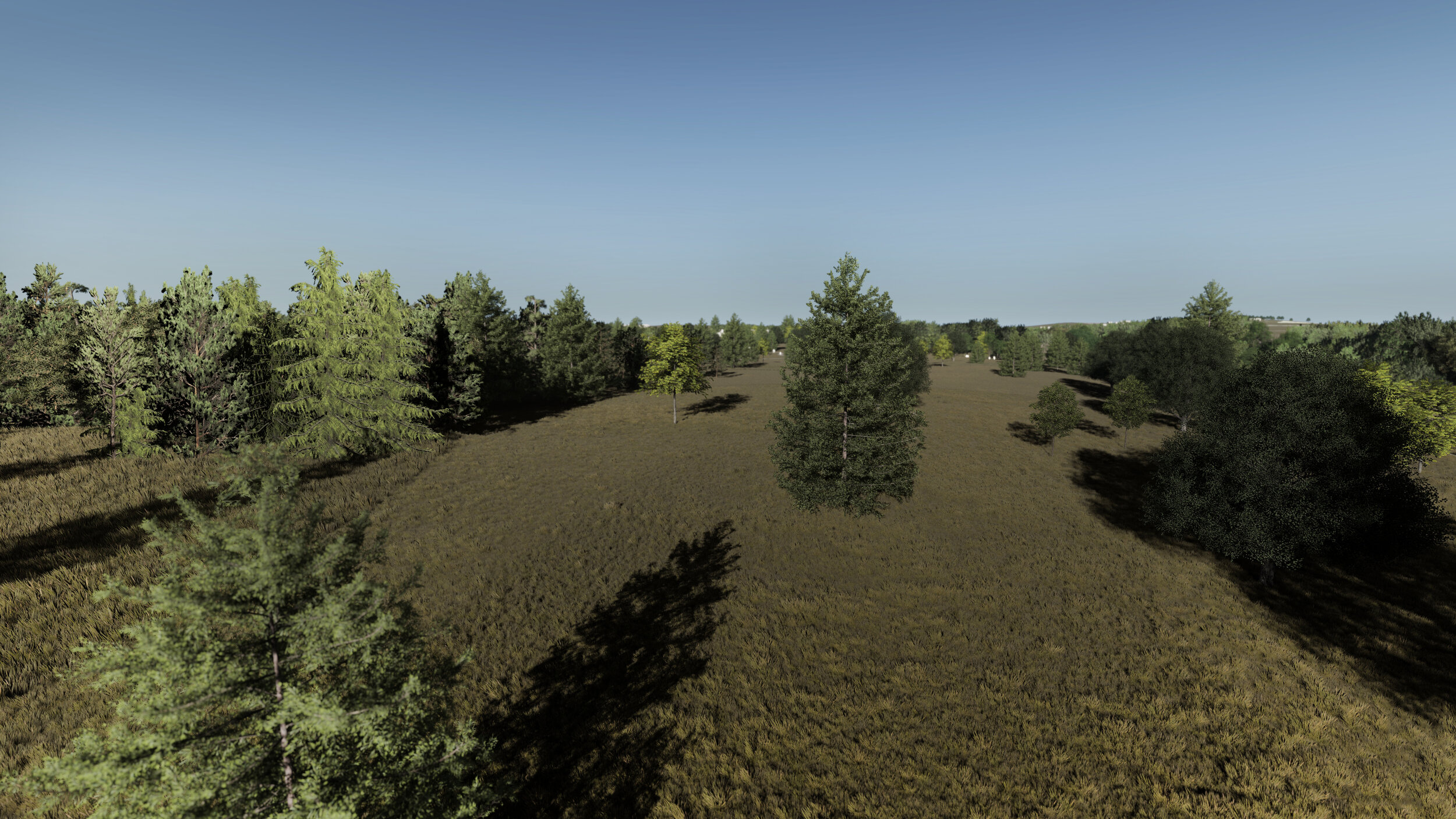

Proposed treatment recommends the restoration of historic conditions, including paths, orchards, vegetation patterns, and the footprint of the former Springs Hotel


SIMULATION OF PROPOSED LANDSCAPE CHANGES AND USE
The Eternal Light Peace Memorial
The current vehicular circulation and parking lot for the Eternal Light Peace Memorial are located directly in front of the memorial site, with both personal vehicles and buses cutting across the front of the memorial. In an effort to mitigate the distractions from the noise of traffic, parking, and bus boarding at the front of the memoral, one possibility that is included in the report recommends the addition of a new parking lot either to the west (side) or north (rear) of the memorial. As part of the proposal to relocate both these circulation patterns and parking lot, two simulations were included to guide future decisions and stewardship of the site by illustrating the potential impact of a parking lot relocation with ADA access to either the west or north of the memorial site on visitor experience. In addition, cultural landscape restoration interventions included the addition of a partial replanting of the historic Forney orchard and evergreen shrubs around the memorial.
A model of the memorial was created in SketchUp using historical blueprint documentation as a base for the memorial’s measurements.
